|
China's topography was formed around the emergence of the Qinghai-Tibet Plateau, the most important geological event over the past several million years. Taking a bird's-eye view of China, the terrain gradually descends from west to east like a staircase. Due to the collision of the Indian and Eurasian plates, the Qinghai-Tibet Plateau rose continuously to become the top of the four-step “staircase,” averaging more than 4,000 m above sea level, and is called “the roof of the world.” Soaring 8,844.43 m above sea level on the plateau is Mount Qomolangma, the world's highest peak and the main peak of the Himalayas. The second step includes the gently sloping Inner Mongolia Plateau, the Loess Plateau, the Yunnan-Guizhou Plateau, the Tarim Basin, the Junggar Basin and the Sichuan Basin, with an average elevation of between 2,000 m and 1,000 m. The third step, dropping to 1,000-500 m in elevation, begins at a line drawn around the Greater Hinggan, Taihang, Wushan and Xuefeng mountain ranges and extends eastward to the coast of the Pacific Ocean. Here, from north to south, are the Northeast Plain, the North China Plain and the Middle-Lower Yangtze Plain. Interspersed amongst the plains are hills and foothills. To the east, the land extends out into the ocean, in a continental shelf, the fourth step of the staircase. The water here is mostly less than 200 m deep.
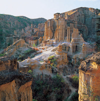
Earth forest, Yuanmou, Yunnan
|