BeiDou precision navigation system updated
- By Wang Mengru
 0 Comment(s)
 Print
Print E-mail China.org.cn, April 11, 2013


|
|
|
The BeiDou Ground Base Enhancement System (BGBES) was approved in Wuhan, Hubei Province, by its evaluation committee.[Photo/huanqiu.com] |
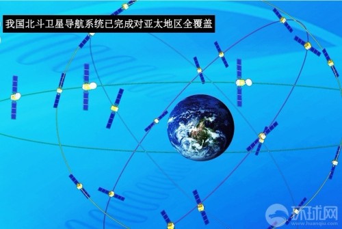
The BeiDou Ground Base Enhancement System (BGBES) was recently approved in Wuhan, Hubei Province, by an evaluation committee led by Sun Jiadong, an academician with the Chinese Academy of Sciences (CAS) and chief designer of the BDS. The ground system aims at enhancing the navigation precision of China's homegrown BeiDou Navigation Satellite System (BDS). In doing so, the BDS has entered a new era of high precision.

The BGBES was conducted by the central government and implemented by the Global Navigation Satellite System (GNSS) Engineering Research Center of Wuhan University and the Hubei Provincial Surveying and Mapping Bureau.
Sun thought the system would be better than the single enhancement GPS system on precision positioning initialization and environment applicability.
“Indexes of the BGBES are up to the standard of the international GPS Ground Base Enhancement System, or even exceed it,” he said.
Shi Chuang, director of the GNSS Engineering Research Center, said that the BGBES owns the independent intellectual property rights. It has built 30 ground base stations, an operating system and a precision positioning system.
The system is expected to help improve the BDS positioning precision to two centimeters horizontally and five centimeters vertically via tri-band real-time precision positioning technology, and to 1.5 meters using single-frequency differential navigation technology.


Go to Forum >>0 Comment(s)