China releases first land cover atlas
 0 Comment(s)
 Print
Print E-mail Xinhua, November 16, 2017


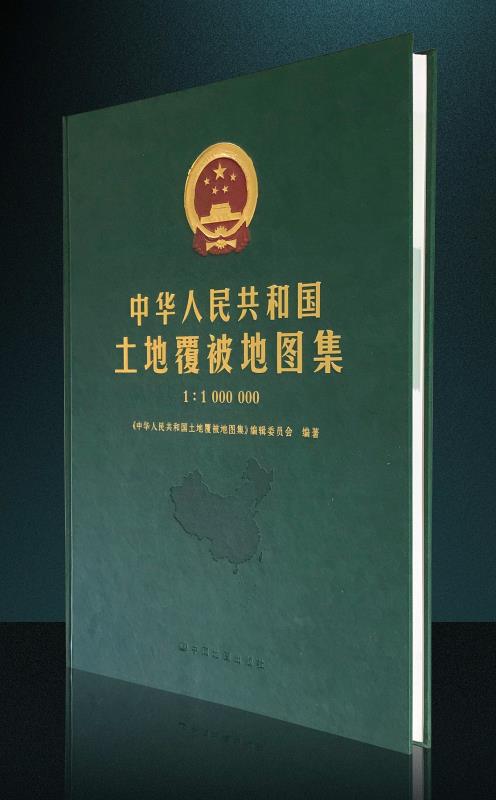
China has published its first land cover atlas, Land Cover Atlas of the People's Republic of China (1:1,000,000), according to the Institute of Remote Sensing and Digital Earth (RADI) under the Chinese Academy of Sciences (CAS) on Wednesday.
|
|
|
China has published its first land cover atlas, Land Cover Atlas of the People's Republic of China (1:1,000,000). [Photo/people.cn] |
The atlas, in both Chinese and English, provides a comprehensive look at land-surface conditions across China, and records its land cover changes in 1990, 2000, and 2010, a period witnessing rapid economic growth, said the RADI.
Land cover refers to the observable natural and artificial objects on the surface of the Earth.
Land cover changes over time can be regarded as indicators of the natural environment, ecosystem, economic development, and people's livelihoods, said the RADI.
From data production in 2011 to publication in 2017, over 240 scientists and technicians from the CAS, government offices, and other research organizations worked on the atlas compilation.


Go to Forum >>0 Comment(s)