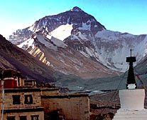
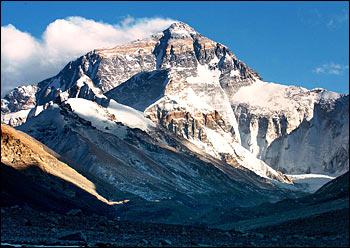
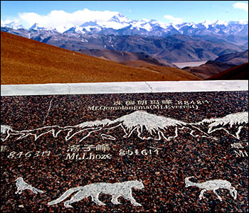
The State Bureau of Surveying and Mapping (SBSM) announced in Beijing today its new measurement of Mount Qomolangma, also known as Mount Everest, as 8,844.43 meters above sea level.
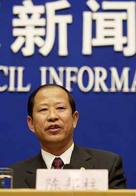
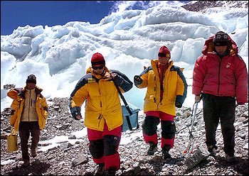
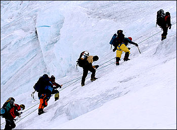
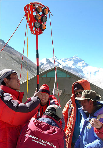
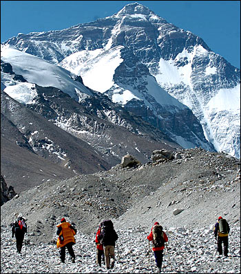
Chen Bangzhu, SBSM director, said a survey party reached the mountain's peak at 11:08 AM on May 22 and established a surveyor's beacon there that was used to conduct a 48-hour survey by theodolite and laser telemeter.
By June 12, all field data had been sent to the SBSM's Geodesic Survey Data Processing Center in Xi'an, the capital of Shaanxi Province for data processing and analysis.
Experts from the Chinese Academy of Sciences, the Bureau of Surveying and Mapping under the Headquarters of the General Staff of the People's Liberation Army and Wuhan University were then invited to double-check the results.
In 1975, Chinese scientists made their first measurement of the mountain's height and announced it to be 8,848.13 meters.
Chen said the reason the measurement is now lower was that the latest figure deducts the depth of ice and snow, and that the mountain is located in an active crust movement area.
(China.org.cn, translated by Li Shen and Liu Yuming, October 9, 2005)